Page Updated: Real-time
Below is the most current information on traffic conditions, border wait times, weather and road conditions for the Pembina / Emerson border crossing. You may need to refresh this page periodically to get current information. For detailed information on this border crossing including times of operation and contact information, see our Pembina / Emerson page.
Wait Times at the Pembina / Emerson Border Crossing
| Estimated wait time to reach the inspection booth. Updated hourly. | Entering the U.S. at Pembina – Open 24 hrs/day Last Update: At 2:00 pm CDT 4/27/2024 | Entering Canada at Emerson Last Update: 2024-04-27 17:15 CDT |
|---|---|---|
| Personal Vehicles | no delay | No Delay |
| NEXUS | Lanes Closed | |
| Ready Lane | N/A | |
| Commercial Vehicles | no delay | No Delay |
| FAST | N/A |
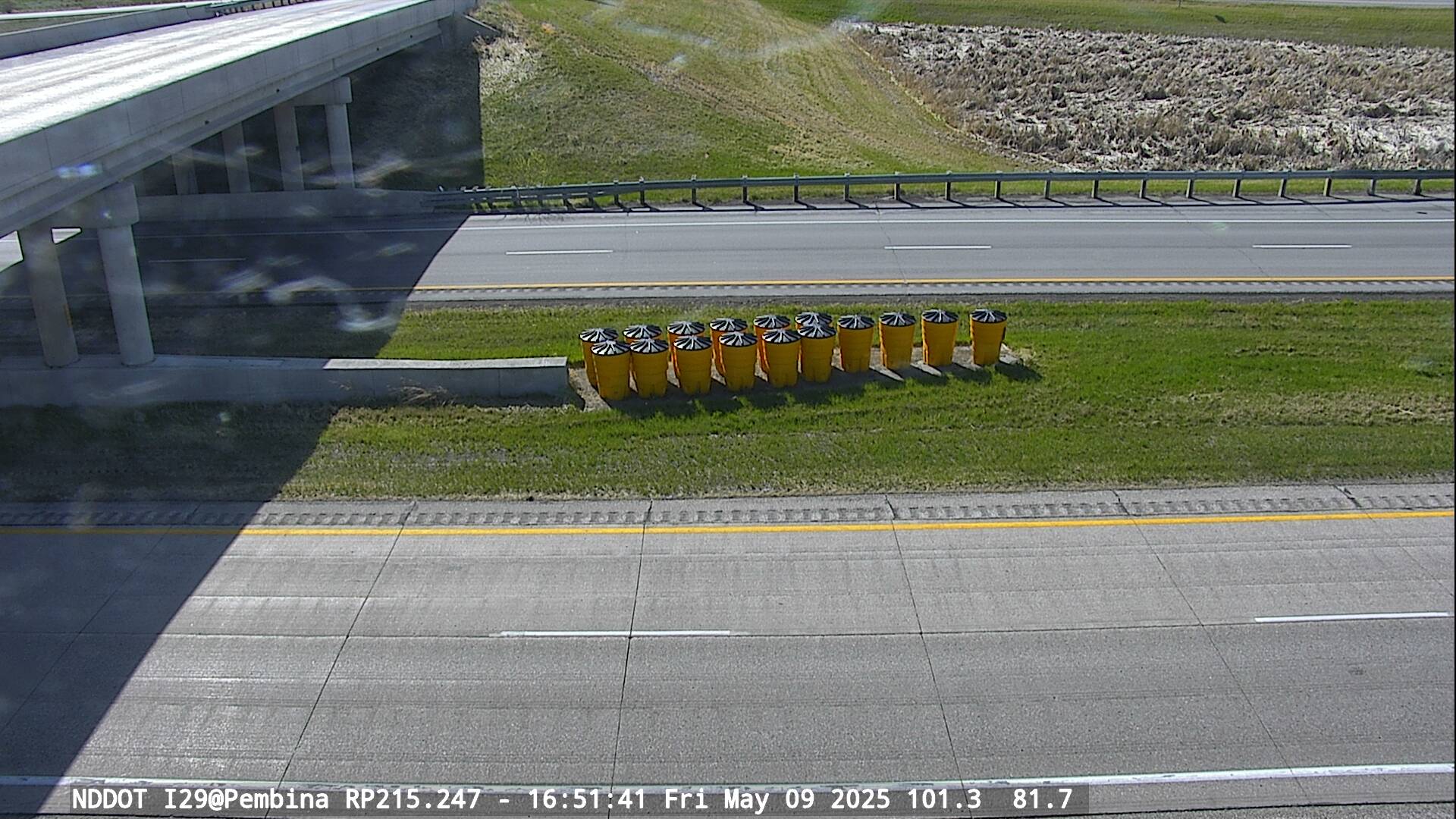
Traffic Cameras near the Pembina and Emerson Border Crossings

Current Road Conditions in North Dakota and Manitoba
We have special pages showing all current road advisories for the State of North Dakota and the Province of Manitoba. These pages show problems such as roadway accidents, snow or ice, lane closures or blockages, construction, road restrictions, traffic problems, and roadwork around the border crossing.
PEMBINA WEATHERTraffic Conditions Map for the Pembina / Emerson Border Crossing
To view the traffic conditions at the border crossing, select “View Larger Map” and turn on the traffic layer.